Delivering Precision in the Delta
Soil is rarely uniform in most fields, but Mississippi has some of the most variable soils anywhere. The Mississippi River has deposited soil throughout the Delta in unique patterns—changing from clay to sand within a few feet, with CEC’s ranging from 3-15 in many fields. David Taylor and his dad farm 5,500 acres of no-till and conventional cotton, corn, peanuts, soybeans and cover crops— in a wide range of yield environments. Some fields are rain fed in the "hill country" and others are input intensive irrigated Delta silt loams.
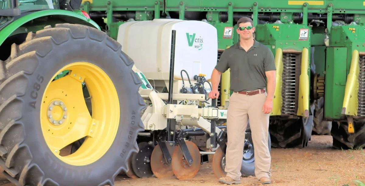
With a desire to improve profitability on their fields and help other farmers also manage soil variability, David started Precision Soil and Data Management, LLC. After thoroughly researching various ways to create management zones, he bought a Veris MSP3. “I read a lot of scientific papers on precision ag,” David says, "Most were from the Midwest corn belt. I knew that being successful here would require some on-farm research to apply to our soils and crops. I kept seeing the Veris soil sensing technology appearing in the articles and it sounded like it could be the base soil layer we needed. I haven’t been disappointed. The patterns we see in Veris organic matter and CEC layers are truly the variability we want to manage with improved nitrogen and water. And the pH maps are detailed enough to detect areas of low pH that 2 ½ acre grid sampling would miss.”
Farming for profit, not just yield is a key goal. This requires breaking fields into small soil management zones and farming each appropriately. On cotton, for example, instead of the common 90 lbs. of N per acre, reducing to 75 lbs. on the loamy soils and increasing to 120 lbs. on the heavier clays is optimal. This improves yield on the heavier soils which tend to denitrify and struggle to support desired plant height. While on the lighter soils lowering N rate means less rank growth, boll rot and lower rates of growth regulator. In order to learn more about how to precisely manage this key input, David is working with Mississippi State University researchers to better understand the ideal N strategy for corn and cotton. As for irrigation, one of the easy-to-implement solutions is determining moisture probe placement using Veris maps. These maps also form the base layer for variable rate irrigation prescriptions to irrigate each soil appropriately.
Precision Soil and Data Management. A very good name for Veris mapping anywhere, but especially appropriate for this innovative grower and precision provider near Como, Mississippi.
Originally Published June 01, 2017.